What the app shows now
Real fires, one scale, and the land underneath.
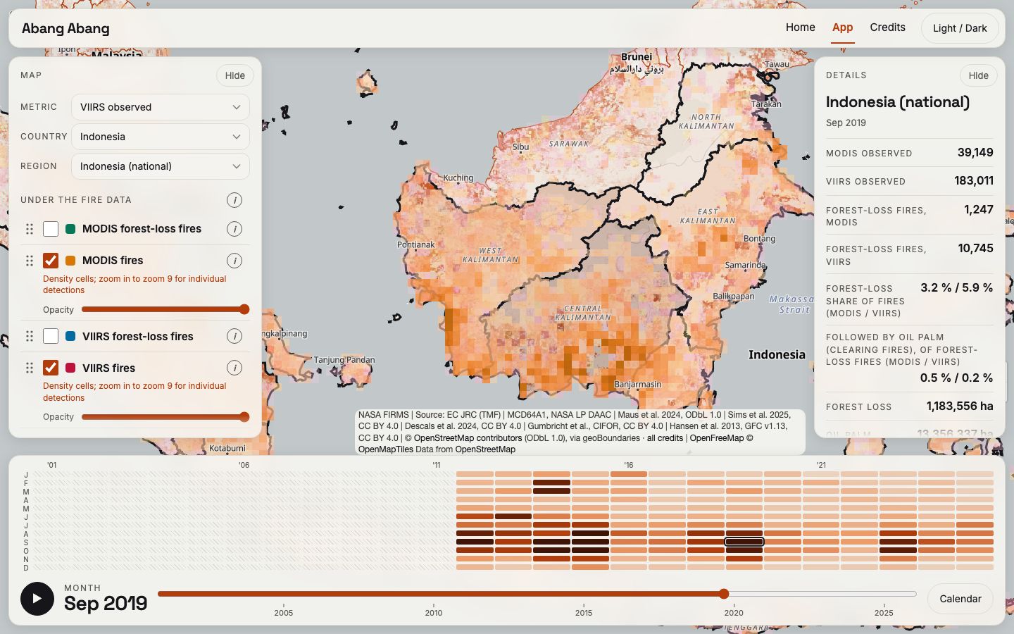
A full-screen map of Indonesia with real MODIS (2001 on) and VIIRS (2012 on) fire detections from NASA FIRMS, one month at a time, and harmonized monthly counts for each province. The harmonized counts come from a province-by-month ratio baseline: before 2012 we scale MODIS by the VIIRS/MODIS ratio of each province and calendar month. On years held out of the fit its error is 12.6% for the national monthly count and 28.9% for the median province. It is a baseline, not our model.
Under the fires you can switch on forest loss (Hansen), oil palm by planting year (Descals), peat, burned area, forest history since 1990 (JRC) and tree-plantation conversion. Forest alerts and pulpwood are still placeholder layers and say so.